

If you want to share satellite imagery quickly with a colleague or client, Agriobs has a build in report feature that allows you to capture what is on your screen, add a comment and send it directly to an email. This email will have your company logo front and center. You can also save it as a PDF if you want to print it or email it at a later date.
The basic premise is that you configure the map as you normally would and then click the report button to send what you see on your screen as an email. Detailed instructions below.
We are working on taking photos in the app with your phone or tablet that can be included in the report with GPS position on the map. Please get in touch if you have other ideas too.
Upload organisation logo
Optionally, the first thing to do is upload your organisation logo (this is an admin only step - members need to ask their administrator to do this).
1. When in the map go to Config
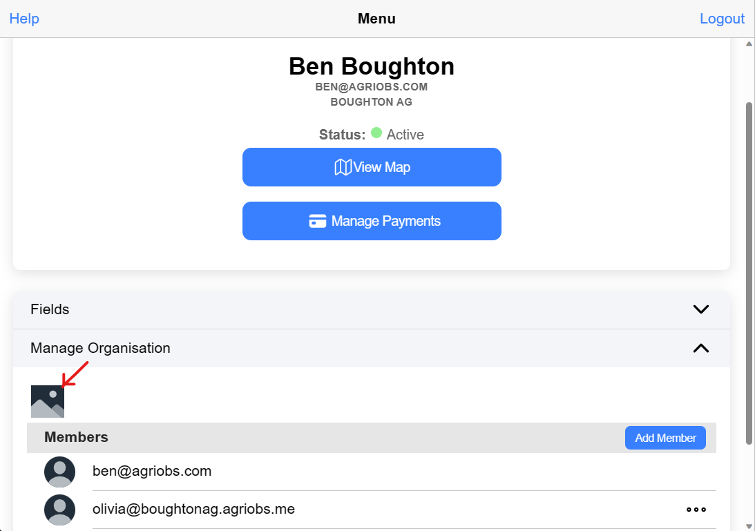
2. Open Manage Organisation
3. Click the placeholder image to upload your logo
Create a report
To generate a report follow these steps
1. Setup the map exactly how you want to report it. That includes field boundary labels on or off, selecting imagery date, processing options (bands or index), and the range etc
2. Click the Report button on the map buttons
3. In the dialogue that opens you can adjust the zoom and position
4. Draw on the map by selecting the pencil. Options include line, polygon and circle with 4 different colors
5. Enter in the email address, name and comment for the report
6. Click send
